Australia Fly Guide
NSW · Coffs Harbour to Nambucca

Bellinger River

Imagery © Esri

info

Before you rely on this page

  • Access here has not been confirmed on the ground — treat every way in as unverified.

The Bellinger is a coastal river that gives you two fisheries in one day's drive: wild Australian bass in clear, fast water up the valley, and a mixed saltwater bag in the estuary below.

The tide cuts it in two. Above a certain point the river is fresh, running quick and clear down its valley; below it the water rises and falls with the sea. FlyLife's writers put that dividing line at Lavenders Bridge, in the town of Bellingen, and follow the estuary down to Urunga on the coast.

The easiest trip is the estuary. The boat ramps on the access card are the obvious way in, and FlyLife's writers describe the stretch from Bellingen down to Urunga as extremely productive, with mangrove jack, trevally, jewfish, bream and luderick all using it at different times of year. Come in the warmer months with a seven-weight and a box of baitfish patterns. No water-specific rule was found for the estuary, which means the statewide saltwater rules are the ones to read before you launch.

The second trip is the bass water. The freshwater river runs up the valley past the locality of Thora towards its headwaters, and FlyLife's writers describe it as wild bass country, with plentiful, powerful fish in fast, clear water. Come on a warm summer evening, fish a surface fly tight to the banks and any snags, and expect to walk and wade between pools. No water-specific rule was found for this river either, so check the current NSW guide before you go.

If you only have one day, fish the bass. The estuary rewards local knowledge and a boat; the upper river rewards a pair of wading boots and a willingness to walk.

Pick a trip, check the river level before you drive, and read the NSW guide before you leave.

Water and habitat

Above the tide line FlyLife's writers describe a clear, quick coastal river. That clarity decides how you fish it: the bass can see you as well as you can see them, so the fish hold where the water gives them cover and brings food past. Look for the heads of pools where a run drops in, deep banks under overhanging trees, and snags or rock that break the current. On a bright day the fish tuck into shade and depth; at dusk they come out to the edges.

Below Bellingen the river becomes an estuary, by FlyLife's writers' account, and the fishing changes with it. Here the water rises and falls, colour comes and goes with the tide and the rain, and the fish move with the bait. Drop-offs, bank structure and the edges of flats are the places to start looking.

The flow charts show how the river's flow runs through the year, and the live card gives you the current level. As on any coastal river, heavy rain in the hills can lift it quickly; when it runs high and brown, give it a day or two to clear.

Fish and forage

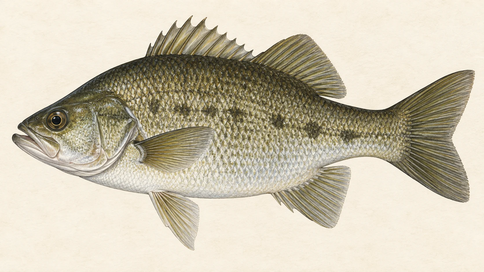
Australian bass are the reason to fish the upper river. They are recorded in the Bellinger, and FlyLife's writers describe the valley above Bellingen as wild bass water with strong, plentiful fish. In our experience river bass like these fight hard in current.

The estuary is a longer list. FlyLife's writers name mangrove jack, giant herring, diamond trevally, jewfish, bream and luderick, each at its own time of year, and a run of juvenile giant trevally over the warmer months. Sea mullet and pinkeye mullet are recorded in the river, as are freshwater catfish and longfin eels. Bull sharks are among the fish recorded too.

The small fish matter more than they look. Australian smelt, Pacific blue-eyes, several gudgeons, Port Jackson glassfish and crimsonspotted rainbowfish are all recorded here, and those are the baitfish a bass or a trevally is eating. In our experience that makes a small, slim streamer in olive, grey or white the most useful fly in the box, from the top of the valley down through the estuary.

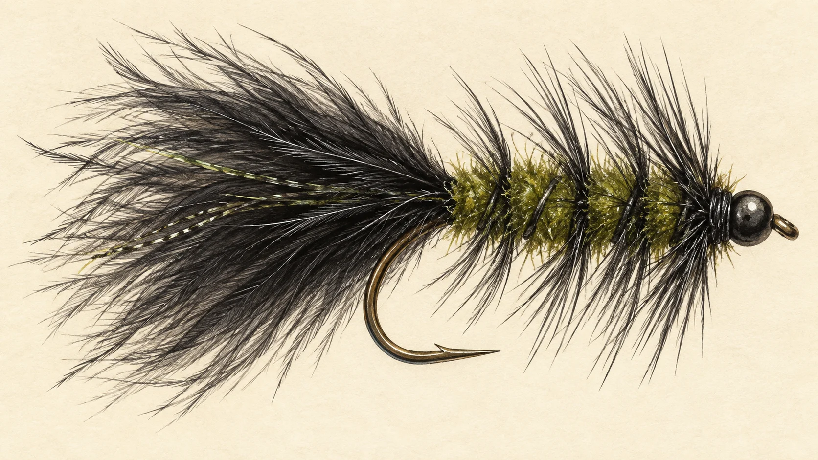
For the bass, carry a surface fly (a popper, a small slider or a big foam beetle) and a Woolly Bugger or similar dark streamer in sizes 4 to 8. For the estuary, carry weighted baitfish patterns in a range of sizes and a few that sink quickly for the deeper edges.

When to fish it

Summer is the heart of the season on both halves of the river. In the upper valley, warm evenings bring bass to the surface along the banks, and a popper worked slowly at last light is a good bet from November through March.

In the estuary the warmer months are when FlyLife's writers describe the juvenile giant trevally arriving, and they note that the other estuary species move through at different times of year. Treat the calendar bars as a guide's read, not a timetable.

As autumn cools the water, the bass go deeper and slower. Switch to a streamer fished near the bottom of the pools. In our experience winter is a quiet time in the upper river; check the current NSW guide before you plan a cold-weather trip.

How to fish it

For the bass water, a five- or six-weight with a floating line covers most of it. Wade quietly, fish upstream or across, and put the fly close to cover: a cast that lands a metre off the bank often goes unanswered where one that lands against it gets eaten. Let a popper sit, then give it short, sharp pops with long pauses. If nothing comes up, go subsurface with a slow-stripped streamer through the deepest part of the pool. Trees crowd much of the bank on rivers like this, so a good roll cast saves flies and time.

For the estuary, step up to a six- to eight-weight, which is what FlyLife's writers recommend for the juvenile trevally. An intermediate or sinking line helps on the deeper edges. Look for bait being pushed to the surface, cast ahead of the movement and strip fast; trevally rarely chase a slow fly. For the structure fish, work a weighted baitfish pattern tight along the bank and let it sink before you move it. The streamer fishing page covers the retrieves.

Access and safety

The access card lists the angler access points and the boat ramps along the river. Treat each as a way to reach the water, not as permission to cross the land beside it; where a track runs through private property, ask first.

As on any clear coastal river, the rocks in fast water are slippery and the pools are deeper than they look. Wade slowly, feel your footing and carry a wading staff if you have one. Check the live card before you set out and keep off the river when it is rising after rain. As on any bush river, wear sturdy footwear on grassy banks in summer and watch where you step.

Regulations

No water-specific rule was found for the Bellinger River. The upper valley is freshwater and the lower river is estuary, so read the current NSW Department of Primary Industries and Regional Development guide for both before you fish.

Before you leave, open the current NSW fishing rules and regulations and check the rules that apply to where you plan to fish.
25 named access sites

These authority-listed points are separate from the mapped track intersections above. Some were inspected and some are public boat-ramp records; each row says which. A listing does not grant permission across private land, so check closures, signs and gates when you arrive.

Sources: NSW Department of Primary Industries and Regional Development; Transport for NSW.

When things happen

The guide's calendar for this water

When things happen

The year on this water

A year at a glance; check current rules

  • Bass on the surface in the upper river · Nov to Mar A guide's read rather than a measurement. Warm evenings in the clear upper valley are the time to throw a surface fly tight to the banks.
  • Juvenile giant trevally in the estuary · Dec to Mar FlyLife's writers describe a solid run of juvenile giant trevally through the warmer months. Treat the months as a guide's approximation, not a fixed window.
  • Subsurface flies for bass · Apr to May As the water cools, go under the surface with a dark streamer worked slowly past cover. Check the current NSW guide for any bass rules before you fish.
  • Small baitfish along the edges · Oct to Apr Smelt, blue-eyes, gudgeons and glassfish are all recorded in the river, and they are what a small streamer imitates.

What the record shows

Flows, river gradient, changing water levels, fish surveys and stocking

What the record shows

The river's year

Daily flow at Bellinger River at Fosters, every year 2007 to 2026

0.5 1 2 5 10 20 50 100 typical range high-flow mark Jan Feb Mar Apr May Jun Jul Aug Sep Oct Nov Dec m³/s
19 years of the gauge, week by week. The dark band is the middle half of all years, the pale band nine years in ten, the line the median. The shaded strip is the typical range: the band the river sits in about half of all days. In a typical year the river sits in it from late April to late September, and runs higher than that from late January to late April. Whether a given day is one to wade is a call made at the bank, not a reading off this chart. Median flow peaks in mid February and bottoms out in early October.
Source: Bureau of Meteorology.
Source details and licence

Bureau of Meteorology — Water Data Online series catalogue (Snowy/Monaro stations). Bureau of Meteorology, © Commonwealth of Australia. Licensed from the Commonwealth of Australia under a Creative Commons Attribution 4.0 International licence. retrieved 2026-08-12.

How often it runs this high

6,961 days at Bellinger River at Fosters, 2007 to 2026

0.5 1 2 5 10 20 50 100 200 typical range 1.692 to 8.412 m³/s high-flow mark 21.832 m³/s 0% of days 25% of days 50% of days 75% of days 100% of days m³/s
Read it left to right: the river runs above the flow on the left edge almost never, and above the flow on the right edge almost always. Half of all days sit below 5.1 m³/s. The shaded band is the typical range, where it sits about half the time; it runs higher than that one day in three and above the high-flow mark about one day in seven. These are frequency bands drawn from the record, not a measured limit — judge the water when you get there.
Source: Bureau of Meteorology.
Source details and licence

Bureau of Meteorology — Water Data Online series catalogue (Snowy/Monaro stations). Bureau of Meteorology, © Commonwealth of Australia. Licensed from the Commonwealth of Australia under a Creative Commons Attribution 4.0 International licence. retrieved 2026-08-12.

How well this water has been surveyed

60 capture records, 3 decades of 3 on file

0 10 20 30 40 50 1990s: 11 capture records 2000s: 2 capture records 2000s: 5 capture records 2010s: 2 capture records 2010s: 30 capture records 2010s: 10 capture records 1990s 2000s 2010s
electrofishing (backpack), 2 records electrofishing (other), 2 records seine netting, 46 records other netting, 10 records
Capture records by decade — electrofishing, netting, trapping and rotenone surveys only; a sighting, an eDNA water sample or a stocking release is not a capture and is not counted here. A record is not an abundance estimate, and a decade with no bar is a decade with no capture survey on file, not evidence the water was empty.
Source: Atlas of Living Australia.
Source details and licence

Atlas of Living Australia — freshwater fish occurrence records (open licences, with coordinates). Occurrence records from the Atlas of Living Australia and its contributing datasets, including the Victorian Biodiversity Atlas, NSW BioNet Atlas, Sustainable Rivers Audit, Murray-Darling Basin fish monitoring programs, OZCAM museum collections and iNaturalist Australia. Each record carries its own licence and originating dataset. retrieved 2026-08-13.

Conditions

What the gauges say

Bellinger River at Thora

River flow

No reading shown: No reading has been captured for this gauge yet, so none is shown.

Gauge height

No reading shown: No reading has been captured for this gauge yet, so none is shown.

Bellinger River at Fosters

River flow

No reading shown: No reading has been captured for this gauge yet, so none is shown.

Gauge height

No reading shown: No reading has been captured for this gauge yet, so none is shown.

Readings from the Bureau of Meteorology's Water Data Online, © Commonwealth of Australia, licensed CC BY 4.0. Nothing here is a forecast. Check the gauge before you rely on it.

Weather

What the sky is doing

Live weather for Bellinger River at Thora loads here. If it does not, check the Bureau of Meteorology forecast before you go.

Weather data by Open-Meteo.com

Questions anglers ask

Where should I start on a first visit?

Decide first whether you want bass or salt. For bass, head up the valley above the town of Bellingen, which FlyLife's writers describe as wild bass water in fast, clear flow. For the estuary, start from one of the boat ramps on the access card and work the lower river.

Where does the tide stop?

FlyLife's writers place the upper limit of tidal influence at Lavenders Bridge in Bellingen. Above that you are fishing a freshwater river; below it you are in the estuary.

What will I catch in the estuary?

FlyLife's writers list mangrove jack, giant herring, diamond trevally, jewfish, bream and luderick, at different times of year, plus juvenile giant trevally through the warmer months. Sea mullet are also recorded in the river.

Is there a closed season?

No water-specific rule was found for the Bellinger. Check the current NSW Department of Primary Industries and Regional Development guide for both the freshwater and the estuary before you fish.

What rod should I bring?

A five- or six-weight covers the bass in the upper river. For the estuary, FlyLife's writers describe the juvenile trevally as a handful on a six- to eight-weight, so bring the heavier rod if you plan to fish below the tide line.

Behind this page