Australia Fly Guide
NSW · Shoalhaven River

Bomaderry Creek

Imagery © Esri

info

Before you rely on this page

  • Access here has not been confirmed on the ground — treat every way in as unverified.

Bomaderry Creek is a NSW creek that runs into the Shoalhaven River, and Australian bass, black bream and longfin eels are reported in it.

Treat it as one piece of water and, in our experience, fish it slowly, working the cover with a small baitfish fly. Read the current NSW fishing guide before you go.

Water and habitat

A creek that feeds the Shoalhaven River. In our experience on creeks like this, cover does most of the work: fallen timber, undercut banks and overhanging growth give bass and bream somewhere to sit out of the current and ambush what drifts past. The charts show how flow and water temperature behave through the year; use them to time a visit, and expect the creek to colour after rain.

Fish and forage

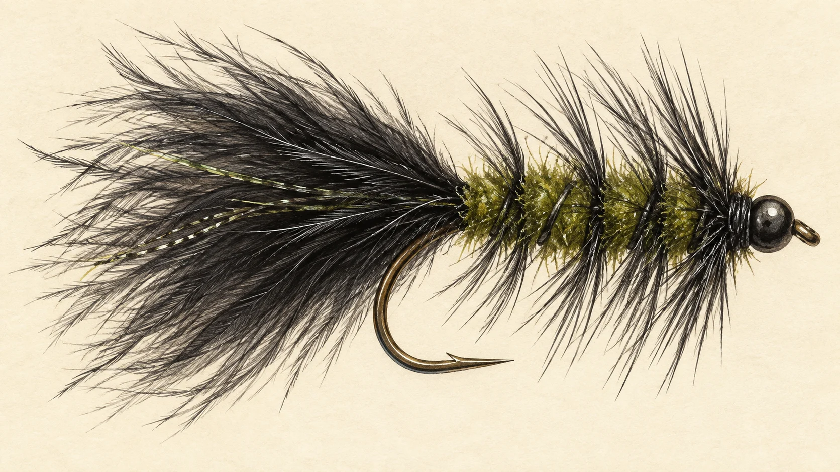
Australian bass, black bream and longfin eels are all reported here. In our experience creek bass and bream feed on small baitfish, prawns, shrimp and insects that fall in from the banks, so a fly box built around a few sizes of dark baitfish pattern and a prawn or shrimp imitation covers most of it. A Woolly Bugger in a small size is a good bet when you are not sure what they want. Eels can turn up on a slow, deep fly; handle them wet and gently.

When to fish it

In our experience bass and bream feed best through the warmer months, and creeks like this fish best at first and last light. Winter days can still produce, but fish tend to slow down, so cut your retrieve and fish the deepest water. After heavy rain, wait a day or two for the creek to clear before you go.

How to fish it

Approach quietly and stay back from the edge. Cast tight to cover, let the fly sink, then work it in short, slow strips. Bass often hit a fly the moment it moves away from a snag, so keep contact with the line and be ready. In open, slower water try a smaller fly on a longer, lighter leader. A 5 or 6 weight with a floating line and a short, sturdy leader is plenty; a sinking-tip line helps in the deeper holes. Where the creek meets the Shoalhaven River, the same approach applies.

Access and safety

The access card lists a boat ramp. Treat it as a location, not a statement of permission, and respect any sign or fence you meet on the ground. As on any bush creek, tell someone where you are going and when you expect to be back, carry water, and watch your footing on wet rock, mud and undercut banks.

Regulations

No water-specific rule was found. Before you fish, read the current NSW Department of Primary Industries and Regional Development fishing guide, check its closed-waters list, and take any season, bag and size limits and licence requirements from it.
1 named access site

These authority-listed points are separate from the mapped track intersections above. Some were inspected and some are public boat-ramp records; each row says which. A listing does not grant permission across private land, so check closures, signs and gates when you arrive.

Sources: Transport for NSW.

When things happen

The guide's calendar for this water

When things happen

The year on this water

A year at a glance; check current rules

  • Baitfish patterns along cover · Oct to Apr A guide's read, not a record. A small dark Woolly Bugger or a baitfish pattern worked slowly past fallen timber and undercut banks is a sensible first fly for bass and bream in a small coastal creek in the warmer months.
  • Low-light hours · Nov to Mar In our experience bass and bream in small creeks feed with the least caution at first and last light, so plan the summer trip around dawn or the final hour of the day.
  • Rain-affected water · Jan to Dec After heavy rain a small creek can colour and rise. Give it a day or two to settle before you go, and use the flow chart to see how it behaves.

What the record shows

Flows, river gradient, changing water levels, fish surveys and stocking

What the record shows

The river's year

Daily flow at Bomaderry Creek at Bomaderry, every year 2003 to 2026

0.05 0.1 0.2 0.5 1 typical range high-flow mark Jan Feb Mar Apr May Jun Jul Aug Sep Oct Nov Dec m³/s
23 years of the gauge, week by week. The dark band is the middle half of all years, the pale band nine years in ten, the line the median. The shaded strip is the typical range: the band the river sits in about half of all days. In a typical year the river sits in it from early April through the turn of the year to mid February, and runs higher than that around late February. Whether a given day is one to wade is a call made at the bank, not a reading off this chart. Median flow peaks in late February and bottoms out in late December.
Source: Bureau of Meteorology.
Source details and licence

Bureau of Meteorology — Water Data Online series catalogue (Snowy/Monaro stations). Bureau of Meteorology, © Commonwealth of Australia. Licensed from the Commonwealth of Australia under a Creative Commons Attribution 4.0 International licence. retrieved 2026-08-12.

How often it runs this high

8,196 days at Bomaderry Creek at Bomaderry, 2003 to 2026

0.05 0.1 0.2 0.5 1 2 5 10 20 50 typical range 0.01 to 0.146 m³/s high-flow mark 0.289 m³/s 0% of days 25% of days 50% of days 75% of days 100% of days m³/s
Read it left to right: the river runs above the flow on the left edge almost never, and above the flow on the right edge almost always. Half of all days sit below 0.1 m³/s. The shaded band is the typical range, where it sits about half the time; it runs higher than that one day in three and above the high-flow mark about one day in seven. These are frequency bands drawn from the record, not a measured limit — judge the water when you get there.
Source: Bureau of Meteorology.
Source details and licence

Bureau of Meteorology — Water Data Online series catalogue (Snowy/Monaro stations). Bureau of Meteorology, © Commonwealth of Australia. Licensed from the Commonwealth of Australia under a Creative Commons Attribution 4.0 International licence. retrieved 2026-08-12.

Conditions

What the gauges say

Bomaderry Creek at Bomaderry

River flow

No reading shown: No reading has been captured for this gauge yet, so none is shown.

Gauge height

No reading shown: No reading has been captured for this gauge yet, so none is shown.

Readings from the Bureau of Meteorology's Water Data Online, © Commonwealth of Australia, licensed CC BY 4.0. Nothing here is a forecast. Check the gauge before you rely on it.

Weather

What the sky is doing

Live weather for Bomaderry Creek at Bomaderry loads here. If it does not, check the Bureau of Meteorology forecast before you go.

Weather data by Open-Meteo.com

Questions anglers ask

What will I catch?

Australian bass, black bream and longfin eels have all been reported in the creek, so plan around bass and bream and keep a small baitfish fly in the box.

Is there a closed season or a size limit?

No water-specific rule was found. Check the current NSW Department of Primary Industries and Regional Development fishing guide, including its closed-waters list, and take any season, bag and size limits from it before you fish.

Where do I start?

The access card lists a boat ramp. Treat it as a location only, and read the signs and fences on the ground before you go in.

What rod should I bring?

A 5 or 6 weight around 9 feet with a floating line and a short leader suits a small creek. Accurate short casts under cover matter more than distance.

Behind this page