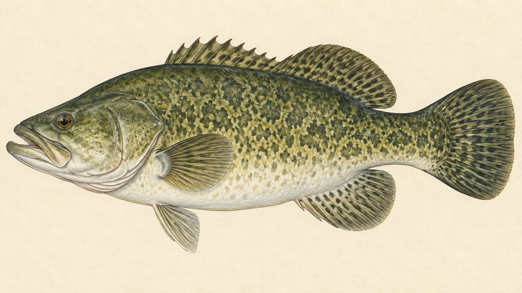
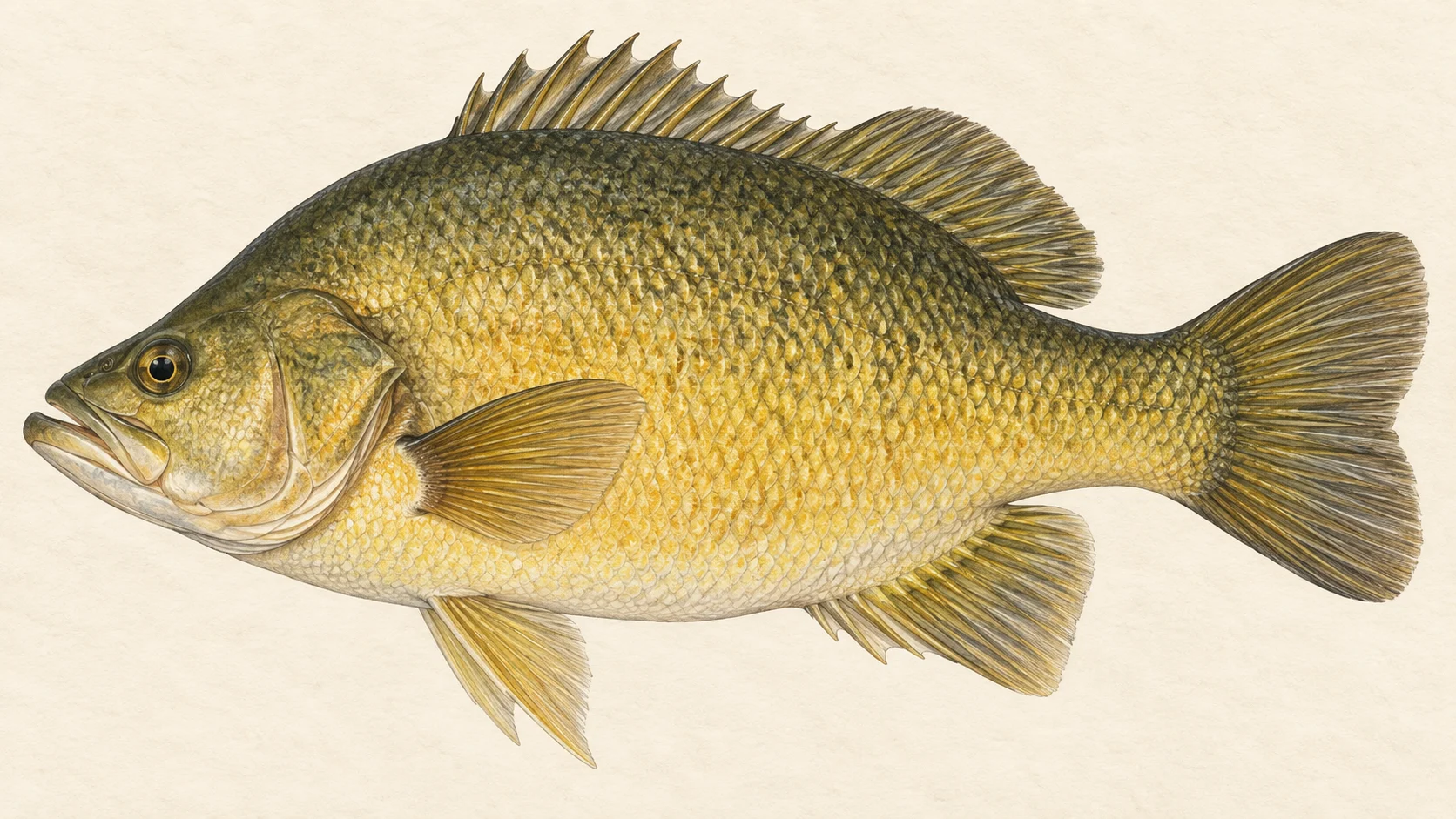
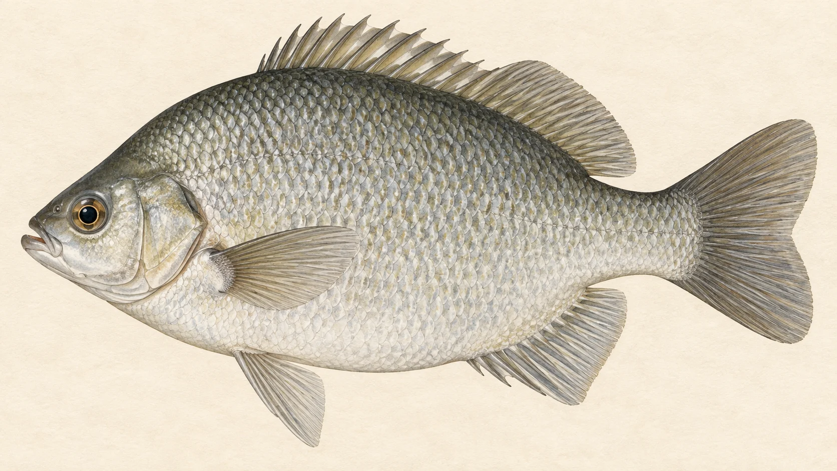
Dunns Swamp is a native-fish water in a sandstone canyon of Wollemi National Park, stocked with Murray cod, golden perch and silver perch, and fished almost entirely from a canoe. The name undersells it. This is a lake in a gorge, with cliffs, timber and deep rock drop-offs, and the FlyLife's writers describe it as heavily stocked and lightly fished.
The water is a small storage on the upper Cudgegong River, held back by Kandos Weir, which was built across a small canyon in 1930 to supply the cement works at Kandos. The lake winds for more than five kilometres up the canyon from the weir, so the shape is a long, narrow snake of water between rock walls rather than an open basin. The park name for the place is Ganguddy, and the National Parks and Wildlife Service manages it.
The one trip that works here is a paddle. Launch a canoe or kayak at the ramp and work up the canyon, casting big flies deep along the rocky drop-offs for cod and golden perch, and a surface fly to any fish moving at dawn and dusk. Summer is the local pick. No rule specific to this water was found, so check the NSW guide's entries for cod, golden perch and silver perch before you keep anything.
Walking the shore is possible but the rock and thick bush make it slow, and, in our experience, the fish sit off drop-offs you cannot reach from the bank. Treat bank fishing as a way to pass an hour at camp, not the plan.
Book the campground, pack the canoe and read the NSW native fish rules before you leave.
Water and habitat
The weir was built across a small canyon, so the lake takes the canyon's shape: narrow, deep in the old river channel, and walled by sandstone. Local accounts give it a maximum depth of about fourteen metres and a run of more than five kilometres up the gorge.
In our experience, fish here are structure fish. Cod and golden perch hold along the rocky drop-offs where the walls plunge into deep water and under overhangs, and they come up the walls to feed when the light is low. The canyon gives shade for much of the day, and in our experience the sunlit wall and the shaded wall fish differently: shade for cod through the day, sun-warmed rock for perch in the morning.
The river blackfish and trout cod named in local accounts are a reminder that this is an upland native river system first, and a stocked lake second. Handle anything you do not recognise with care and put it back.
Fish and forage
Murray cod, golden perch and silver perch are stocked regularly, on local accounts, and a few rainbow trout went in years ago. FlyLife's writers describe the natives as richly coloured. Freshwater catfish are recorded here too, along with carp gudgeon. The trout stocking stopped some time ago, and there may be an odd brown; trout cod and river blackfish are also named as present.
In our read, the forage is the usual upland native mix: yabbies and shrimp on the rock, small gudgeons in the shallows, and terrestrials off the cliff-side timber in summer. That points to a simple fly box. Big, weighted, dark flies for cod, fished deep; smaller weighted patterns in size 2 to 1/0 for golden perch; and a foam surface fly or popper for the dawn and dusk rise.
Local anglers warn that bait is not the way here because of the turtles, which is a fair reason even before you count the fly-only pleasure of it.
When to fish it
Local accounts put the native fishing at its best over summer, and the fly fishing follows the same curve. In our experience, warm water from late spring to early autumn brings cod and perch up the drop-offs and onto the surface at first and last light, and summer terrestrials give a reason to fish a foam fly tight to the rock through the middle of the day.
Through the cooler months, in our experience, the fish sit deeper and the fishing slows. That is the time for the heaviest flies and the slowest retrieve along the deepest wall you can find, and for accepting that a session might be one fish.
Whatever the month, the low light at either end of the day is the surface window. Be on the water before the sun reaches the canyon floor.
How to fish it
Rig a nine or ten weight with a sinking line for cod and a seven or eight weight with an intermediate line for golden perch, and fish from a canoe or kayak. Paddle quietly along the wall and cast the big fly tight to the rock, then let it sink down the drop-off before you retrieve. Local lure anglers get their lures fifteen feet down along the rocky drop-offs; that is your target depth too, and it means counting the fly down with patience.
Retrieve a cod fly in long, slow strips with pauses, and hold on through the pause. A golden perch fly goes slower again, with a lift-and-drop that keeps it working down the wall. When a fish rises at dawn or dusk, change to a popper or a large foam fly and work it with long pauses along the wall where you saw the fish.
Local anglers name spinnerbaits, lipless crankbaits and small stumpjumpers as the lures that work here. Translate that into fly terms as flash, thump and a compact profile: a fly with a bit of flash in the tail, a weighted head and a body that pushes water.
Cod are large and fragile out of the water. Keep the fish in the water for the photo, support it horizontally, and release it after it has recovered. Treat silver perch as a release fish unless you have read the current guide's entry for them and it says otherwise for this water.
Access and safety
From Rylstone, follow the signs from the hospital, or from Main Street in Kandos, for about twenty minutes of driving to the campground and ramp. The campground is run by the National Parks and Wildlife Service and has pit toilets; local accounts say bookings go through the NPWS Mudgee office, and kayak hire is available at the ramp in peak season. Confirm all of that on the current NPWS listing before you go, because park bookings, fees and closures change.
The shoreline is the hazard. Local anglers warn of cliff drops of around fifteen metres, mossy rock that is slippery when wet, snakes in summer, and possums and goannas that raid an unattended camp. None of that is an official park advisory. Do not walk the cliff tops for a better cast; the fish are reached from the water, not from above it.
On the water, wear a life jacket, keep the canoe close to the wall you are fishing so a capsize puts you within reach of rock, and turn back if a wind gets up the canyon. Local accounts mention a speed limit for powered boats on the lake; confirm the current park conditions before you bring a motor, and expect a paddle to be the better tool regardless.
Regulations
No rule specific to Dunns Swamp was found. The natives stocked here, Murray cod, golden perch and silver perch, each have their own entries in the current NSW freshwater fishing guide. Read the entry for each before you fish, and read the cod and silver perch entries twice, because a season, a size limit or a protection can change from year to year.
Before you fish, read the current NSW fishing rules and regulations and the freshwater bag and size limits, and confirm the fishing fee and exemptions.
The lake sits inside Wollemi National Park, so park rules on camping, fires, boats and access apply on top of the fishing rules. Check the current NPWS page for Ganguddy (Dunns Swamp) before you drive out.