Australia Fly Guide
NSW · Murrumbidgee River

Gilmore Creek

Imagery © Esri

info

Before you rely on this page

  • Access here has not been confirmed on the ground — treat every way in as unverified.

Gilmore Creek is a NSW creek that runs into the Tumut River, and it is worth a look for river blackfish, a native fish that rewards small flies and patience.

Treat it as one stretch of water and start at an access point from the card. Fish slowly, close to cover, with a small nymph or a dark Woolly Bugger.

Read the current NSW fishing guide before you go, then pick your access point.

Water and habitat

Gilmore Creek is a tributary of the Tumut River. River blackfish are recorded in it, and in our experience blackfish are a fish of cover: expect them close to whatever gives them somewhere to hide, and fish those spots before you cover open water.

Fish and forage

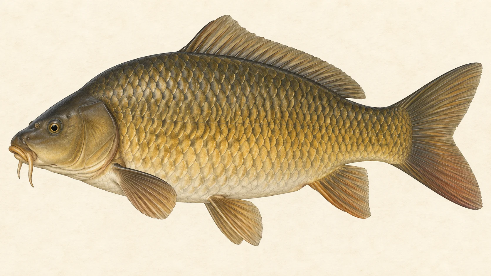
River blackfish are recorded here with high confidence, alongside European carp and eastern gambusia. Blackfish are the fly target; the other two are not a reason to make the trip. A small nymph and a small dark streamer suit blackfish, and a few of each in dull colours will cover most situations.

When to fish it

In our experience the warmer months, from spring into autumn, are the time to fish for blackfish. A good bet is early morning and the last of the light, when fish may be more willing to leave cover.

How to fish it

Keep low, stay back from the edge and cast short. Put a Pheasant Tail or Hare's Ear nymph close to cover and let it drift or creep along the bottom. If a fish will not take it, swap to a small Woolly Bugger and work it slowly past the same spot. Expect subtle takes and stay in touch with the fly.

Access and safety

The access card names the access points. Treat them as locations, not a statement of permission, and respect any fence or sign you meet on the ground.

As on any creek, tell someone where you are going and when you expect to be back, carry water and a small first-aid kit, and watch your footing on wet rock and banks. Creeks can rise after rain, so keep an eye on the sky and never wade a crossing you are unsure of.

Regulations

No water-specific rule was found. Before you fish, read the current NSW Department of Primary Industries and Regional Development freshwater fishing guide, check its closed-waters list, and take any season, bag and size limits and licence requirements from it.
25 named access sites

These authority-listed points are separate from the mapped track intersections above. Some were inspected and some are public boat-ramp records; each row says which. A listing does not grant permission across private land, so check closures, signs and gates when you arrive.

  • Bago Forest Rd Authority-listed access site · Access mode not stated · State Forest
  • Batlow Road Inspected access site · Access mode not stated · Public Road
  • D/s Snubba Rd Authority-listed access site · Access mode not stated · State Forest
  • D/s Yellowin Rd Authority-listed access site · Access mode not stated · State Forest
  • Gilmore Campingg Ground Authority-listed access site · Access mode not stated · Public Reserve
  • Gocup Rd Inspected access site · Access mode not stated · Public Road
  • Killarney Tsr Sth Inspected access site · Access mode not stated · TSR
  • Killarney Tsr West Inspected access site · Access mode not stated · TSR
  • Kllarney Tsr East Inspected access site · Access mode not stated · TSR
  • Pegmill Ck Authority-listed access site · Access mode not stated · State Forest
  • Ryans Crossing Authority-listed access site · Access mode not stated · State Forest
  • Sheep Station Authority-listed access site · Access mode not stated · State Forest
  • Snubba Ck Authority-listed access site · Access mode not stated · State Forest
  • Snubba Rd Authority-listed access site · Access mode not stated · State Forest
  • Treatment Plant Road Inspected access site · Access mode not stated · TSR
  • Tsr - Treatment Plant Authority-listed access site · Access mode not stated · TSR
  • Unnamed Forest Track Authority-listed access site · Access mode not stated · State Forest
  • Unnamed Forest Track Authority-listed access site · Access mode not stated · State Forest
  • Unnamed Forest Track Authority-listed access site · Access mode not stated · State Forest
  • Unnamed Forest Track Authority-listed access site · Access mode not stated · State Forest
  • Wereboldera Station Rd Inspected access site · Access mode not stated · Public Road
  • West Gilmore Reserve Authority-listed access site · Access mode not stated · State Forest
  • West Gilmore Road Authority-listed access site · Access mode not stated · Public Road
  • Whatmans Road Authority-listed access site · Access mode not stated · State Forest
  • Yellowin Road Inspected access site · Access mode not stated · State Forest

Sources: NSW Department of Primary Industries and Regional Development.

When things happen

The guide's calendar for this water

When things happen

The year on this water

A year at a glance; check current rules

  • Small nymphs for blackfish · Oct to Apr A guide's read, not a record. A small Pheasant Tail or Hare's Ear fished slowly and close to cover is a sensible first fly for river blackfish once the water warms.
  • Woolly Bugger for a second look · Oct to Apr In our experience a small dark Woolly Bugger, crept along the bottom past cover, is the fly to try when the nymphs get no answer.

What the record shows

Flows, river gradient, changing water levels, fish surveys and stocking

What the record shows

The river's year

Daily flow at Gilmore Creek at Wybalena, every year 1978 to 2026

0.05 0.1 0.2 0.5 1 2 5 typical range high-flow mark Jan Feb Mar Apr May Jun Jul Aug Sep Oct Nov Dec m³/s
48 years of the gauge, week by week. The dark band is the middle half of all years, the pale band nine years in ten, the line the median. The shaded strip is the typical range: the band the river sits in about half of all days. In a typical year the river sits in it from late October through the turn of the year to early July, and runs higher than that from late July to late October. Whether a given day is one to wade is a call made at the bank, not a reading off this chart. Median flow peaks in late August and bottoms out in late February.
Source: Bureau of Meteorology.
Source details and licence

Bureau of Meteorology — Water Data Online series catalogue (Snowy/Monaro stations). Bureau of Meteorology, © Commonwealth of Australia. Licensed from the Commonwealth of Australia under a Creative Commons Attribution 4.0 International licence. retrieved 2026-08-12.

How often it runs this high

10,294 days at Gilmore Creek at Wybalena, 1978 to 2026

0.05 0.1 0.2 0.5 1 2 5 10 typical range 0.261 to 1.328 m³/s high-flow mark 2.398 m³/s 0% of days 25% of days 50% of days 75% of days 100% of days m³/s
Read it left to right: the river runs above the flow on the left edge almost never, and above the flow on the right edge almost always. Half of all days sit below 0.8 m³/s. The shaded band is the typical range, where it sits about half the time; it runs higher than that one day in three and above the high-flow mark about one day in seven. These are frequency bands drawn from the record, not a measured limit — judge the water when you get there.
Source: Bureau of Meteorology.
Source details and licence

Bureau of Meteorology — Water Data Online series catalogue (Snowy/Monaro stations). Bureau of Meteorology, © Commonwealth of Australia. Licensed from the Commonwealth of Australia under a Creative Commons Attribution 4.0 International licence. retrieved 2026-08-12.

How well this water has been surveyed

5 capture records, 1 decade of 1 on file

0 1 2 3 4 5 2010s: 2 capture records 2010s: 3 capture records 2010s
electrofishing (backpack), 2 records electrofishing (other), 3 records
Capture records by decade — electrofishing, netting, trapping and rotenone surveys only; a sighting, an eDNA water sample or a stocking release is not a capture and is not counted here. A record is not an abundance estimate, and a decade with no bar is a decade with no capture survey on file, not evidence the water was empty.
Source: Atlas of Living Australia.
Source details and licence

Atlas of Living Australia — freshwater fish occurrence records (open licences, with coordinates). Occurrence records from the Atlas of Living Australia and its contributing datasets, including the Victorian Biodiversity Atlas, NSW BioNet Atlas, Sustainable Rivers Audit, Murray-Darling Basin fish monitoring programs, OZCAM museum collections and iNaturalist Australia. Each record carries its own licence and originating dataset. retrieved 2026-08-13.

Conditions

What the gauges say

Gilmore Creek at Gilmore

River flow

No reading shown: No reading has been captured for this gauge yet, so none is shown.

Gauge height

No reading shown: No reading has been captured for this gauge yet, so none is shown.

Gilmore Creek at Wybalena

River flow

No reading shown: No reading has been captured for this gauge yet, so none is shown.

Gauge height

No reading shown: No reading has been captured for this gauge yet, so none is shown.

Readings from the Bureau of Meteorology's Water Data Online, © Commonwealth of Australia, licensed CC BY 4.0. Nothing here is a forecast. Check the gauge before you rely on it.

Weather

What the sky is doing

Live weather for Gilmore Creek at Gilmore loads here. If it does not, check the Bureau of Meteorology forecast before you go.

Weather data by Open-Meteo.com

Questions anglers ask

What will I catch?

River blackfish and European carp are both recorded in the creek. Blackfish are the more interesting fly target.

Where do I start?

Pick one of the access points on the access card and fish from there. Treat those points as locations only, and read the signs and fences on the ground.

Is there a closed season or a bag limit?

No water-specific rule was found. Check the current NSW Department of Primary Industries and Regional Development freshwater fishing guide, including its closed-waters list, before you fish.

Behind this page