Australia Fly Guide
NSW · Murrumbidgee River

Bago Creek

Imagery © Esri

info

Before you rely on this page

  • Access here has not been confirmed on the ground — treat every way in as unverified.

Bago Creek is a NSW creek: brown and rainbow trout have been stocked into it in recent seasons, and river blackfish have been recorded there too.

It runs on into Tarcutta Creek. Start at one of the access points on the access card, walk to the water and fish upstream with a dry and a small nymph under it.

The current NSW trout guide decides when you can fish and what you keep, so read it before you settle on a date.
Water and habitat

Bago Creek flows into Tarcutta Creek. The access card shows six places to reach it; treat them as locations only, not permission to cross private land.

Fish and forage

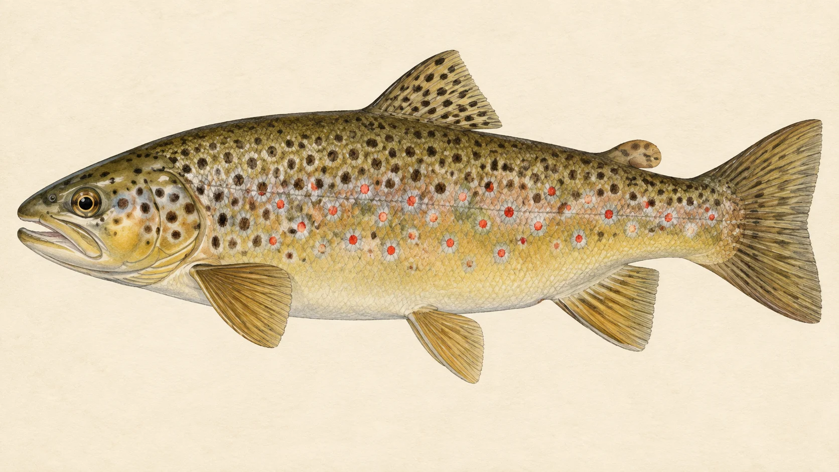
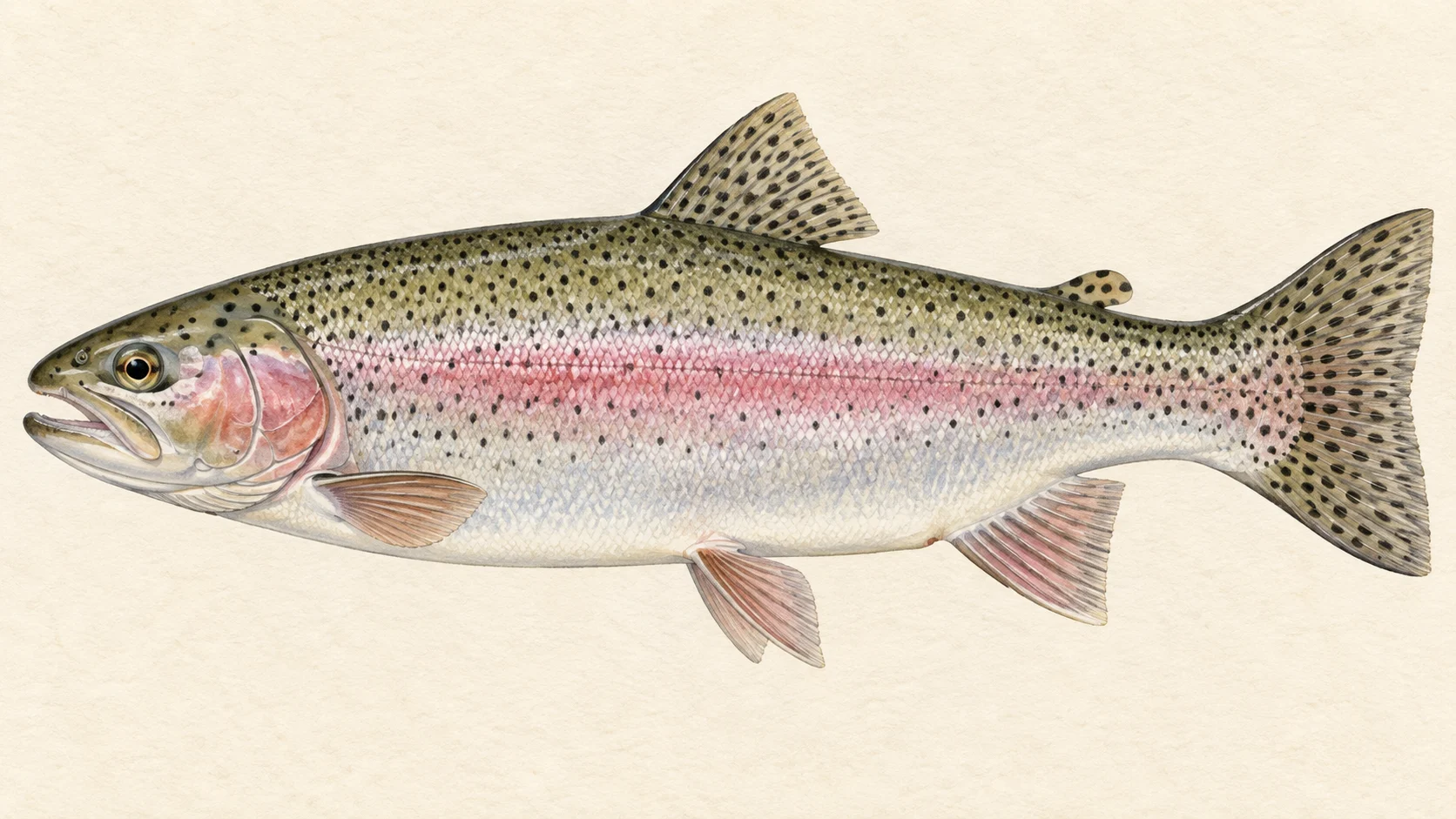
The stocking chart shows the brown and rainbow trout released into the creek, so those are the fish to plan for. River blackfish have also been recorded. Stocked trout are worth targeting with a dry and dropper in warm weather and a nymph on its own when nothing is rising.

When to fish it

In our experience the warmer months suit a dry and a nymph under it, and the cooler or brighter days call for nymphs alone. Take the trout season from the NSW guide before you plan a date.

How to fish it

Work upstream so the fish see you last, cast short and accurate, and fish the water in front of you slowly. Early morning and the last hour of light are a good bet.

Access and safety

Choose one of the access points on the access card and check signs and fences on the ground. As on any bush creek, watch your footing on wet rock, and tell someone where you are going.

Regulations

No water-specific rule was found. Check the current NSW Department of Primary Industries and Regional Development trout guide, and its closed-waters list, before you fish, and take any season, bag and size limits from it.

6 named access sites

These authority-listed points are separate from the mapped track intersections above. Some were inspected and some are public boat-ramp records; each row says which. A listing does not grant permission across private land, so check closures, signs and gates when you arrive.

  • 76 Access Authority-listed access site · Access mode not stated · State Forest
  • Bago Ck Rd Inspected access site · Access mode not stated · State Forest
  • Bago Tsr Inspected access site · Access mode not stated · TSR
  • Carrs Road Inspected access site · Access mode not stated · State Forest
  • Kings Road Inspected access site · Access mode not stated · State Forest
  • Wondalga Rd Inspected access site · Access mode not stated · Public Road

Sources: NSW Department of Primary Industries and Regional Development.

When things happen

The guide's calendar for this water

When things happen

The year on this water

A year at a glance; check current rules

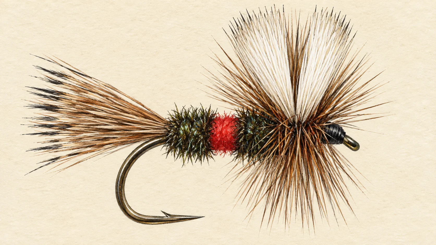
  • Dry and dropper through the pools · Nov to Mar A guide's read, not a record. A Royal Wulff with a small bead-head nymph under it is a good first rig once the weather warms. Take any season for the creek from the current NSW trout guide before you plan the trip.
  • Nymphs when nothing is rising · Oct to Apr A Pheasant Tail or Hare's Ear fished short and upstream through the deeper runs is the fallback on a cool or bright day.

What the record shows

Flows, river gradient, changing water levels, fish surveys and stocking

What the record shows

How well this water has been surveyed

1 capture records, 1 decade of 1 on file

0 1 2000s: 1 capture record 2000s
electrofishing (other), 1 record
Capture records by decade — electrofishing, netting, trapping and rotenone surveys only; a sighting, an eDNA water sample or a stocking release is not a capture and is not counted here. A record is not an abundance estimate, and a decade with no bar is a decade with no capture survey on file, not evidence the water was empty.
Source: Atlas of Living Australia.
Source details and licence

Atlas of Living Australia — freshwater fish occurrence records (open licences, with coordinates). Occurrence records from the Atlas of Living Australia and its contributing datasets, including the Victorian Biodiversity Atlas, NSW BioNet Atlas, Sustainable Rivers Audit, Murray-Darling Basin fish monitoring programs, OZCAM museum collections and iNaturalist Australia. Each record carries its own licence and originating dataset. retrieved 2026-08-13.

Stocking on record

42,000 fish in 13 records, 2020 to 2026

0 2k 4k 6k 8k 2020: 2,500 rainbow trout in 1 record 2020: 2,500 brown trout in 1 record 2021: 2,500 rainbow trout in 1 record 2021: 2,500 brown trout in 1 record 2022: 5,000 rainbow trout in 1 record 2022: 2,500 brown trout in 1 record 2023: 5,000 rainbow trout in 1 record 2023: 2,500 brown trout in 1 record 2024: 5,000 rainbow trout in 1 record 2024: 2,500 brown trout in 1 record 2025: 5,000 rainbow trout in 1 record 2025: 2,000 brown trout in 1 record 2026: 2,500 brown trout in 1 record 2020 2021 2022 2023 2024 2025 2026
Rainbow Trout, 25,000 across 6 records Brown Trout, 17,000 across 7 records
Stocked in 7 of the 7 years from 2020 to 2026. These are site-by-year totals, which can combine more than one release. A record is not a promise that stocking continues, and not evidence of what is in the water now.
Source: NSW Department of Primary Industries and Regional Development (Fisheries).
Source details and licence

NSW Fish Stocking — ArcGIS site markers and linked histories. retrieved 2026-08-29.

Conditions

What the gauges say

Check the water operator or jurisdiction authority for current conditions, and read the water yourself when you arrive.

Questions anglers ask

What will I catch?

NSW stocking records list brown and rainbow trout released into the creek over recent seasons, and river blackfish have been recorded there. The stocking chart shows which seasons the trout went in.

Is there a closed season?

No water-specific rule was found. Check the current NSW Department of Primary Industries and Regional Development trout guide before you fish, and take any season, bag and size limits from it.

Where do I start?

Pick one of the access points on the access card, walk to the water and fish upstream from there. Treat those points as locations only, and read the signs and fences on the ground.

Behind this page