Australia Fly Guide
TAS · Central

Lake King William

Imagery © Esri

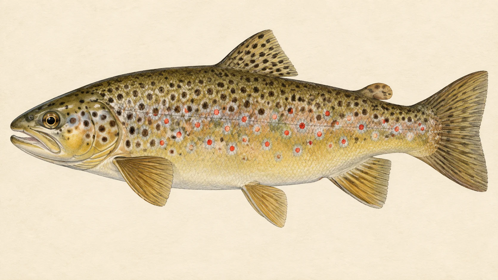
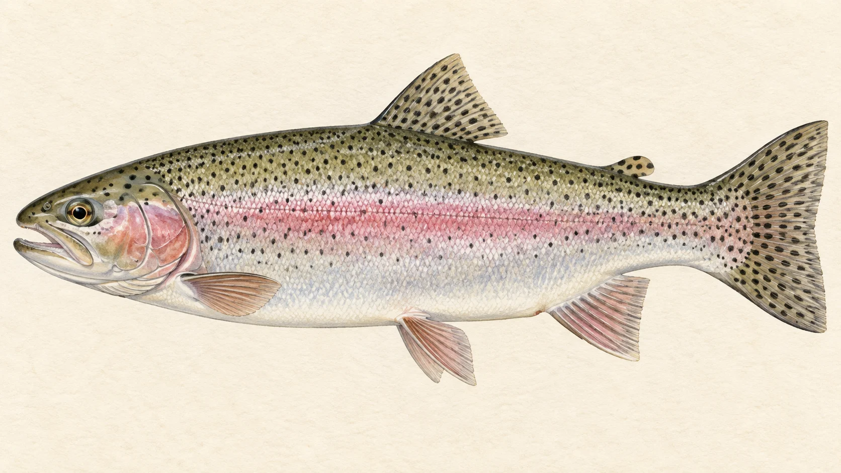
Lake King William is a Tasmanian trout lake, and its fishing belongs mostly to brown trout: a naturally self-sustaining population, with rainbows a small part of the catch.

Plan the trip around spring. FlyLife's writers describe the lake rising over its floodplains then, with trout moving into flooded grass and shallow margins. Bedlam Bay, Charles Bay and Bethune Bay are named as prime tailing water.

Start at the northern end. The Lyell Highway near Derwent Bridge is the way in, with tracks toward Bedlam Bay, the Derwent inflows and Guelph Basin.

Read the current Tasmanian Inland Fisheries Service guide before you go.

Water and habitat

In spring the lake rises over its floodplains, and FlyLife's writers describe trout moving into flooded grass and shallow margins. Look at how far the water has come up before you choose a bay.

Fish and forage

Brown trout dominate, and rainbow trout make up a small proportion of the catch. A published flies table also lists a Carrot Fly in sizes 12 to 14 for both trout.

When to fish it

Spring is the headline. As the lake rises over its floodplains, trout are described as moving into flooded grass and shallow margins, and the bays named above fish as tailing water.

How to fish it

This is a guide's read rather than a record. When trout are working flooded margins, look before you cast: walk slowly along the edge and watch for tails and wakes, because fish in shallow water tend to see you before you see them. The Carrot Fly in size 12 to 14 is a fair fly to carry for either trout.

Access and safety

The northern end is reached from the Lyell Highway near Derwent Bridge, with tracks toward Bedlam Bay, the Derwent inflows and Guelph Basin. Harbacks Road gives 2WD access to the western Guelph Basin, and a rough 4WD track continues to Navarre Inlet. Treat this as a description of the roads, not a statement of permission, and respect any gate or sign you meet.

As on any lake, tell someone where you are going and when you expect to be back, carry water and a first-aid kit, and keep an eye on the weather.

Regulations

Before you fish, read the current Tasmanian Government Inland Fisheries Service fishing guide, under the Inland Fisheries Act 1995 and Inland Fisheries Regulations 2019, including its list of closed waters, and take any season, bag and size limits and licence requirements from it.
When things happen

The guide's calendar for this water

When things happen

The year on this water

A year at a glance; check current rules

  • Trout in the flooded margins · Sep to Nov FlyLife's writers describe trout moving into flooded grass and shallow margins as the lake rises over its floodplains in spring. How far and how fast it rises changes from year to year, so treat the months as a guide.
  • Carrot Fly · Oct to Mar A published flies table lists a Carrot Fly in sizes 12 to 14 for brown and rainbow trout. A reasonable fly to have in the box, not a promise.

What the record shows

Flows, river gradient, changing water levels, fish surveys and stocking

What the record shows

How wet the lake has stayed

Satellite record, 1986 to 2026

0% 25% 50% 75% 100% 1996 2006 2016 2026
The share of the mapped water body that was wet each month, from satellite imagery since 1986. This is not a level record — a satellite reads surface extent, never depth — but a shrinking wet area usually means a lower lake. Over 112 months on file the wet share has run from 15% to 97%; the latest reading is 77%, 2026-07.
Source: Geoscience Australia.
Source details and licence

Geoscience Australia — Digital Earth Australia Waterbodies v3 (wet-surface time series). Digital Earth Australia Waterbodies v3, Geoscience Australia, © Commonwealth of Australia, CC BY 4.0. retrieved 2026-08-16.

Conditions

What the gauges say

Check the water operator or jurisdiction authority for current conditions, and read the water yourself when you arrive.

Questions anglers ask

What will I catch?

Mostly brown trout. FlyLife describes a naturally self-sustaining population dominated by browns, with rainbows a small proportion of the catch.

When is the best time to go?

Spring is the time to plan around, when the rising lake floods grass and shallow margins and trout follow the water in.

How do I get to the lake?

The northern end is reached from the Lyell Highway near Derwent Bridge. Harbacks Road is 2WD to the western Guelph Basin, and a rough 4WD track continues to Navarre Inlet.

Is there a closed season?

Check the current Tasmanian Inland Fisheries Service fishing guide, including its list of closed waters, and take any season, bag and size limits and licence requirements from it before you fish.

Behind this page