Australia Fly Guide
VIC · Goulburn

Jamieson River

Imagery © Esri

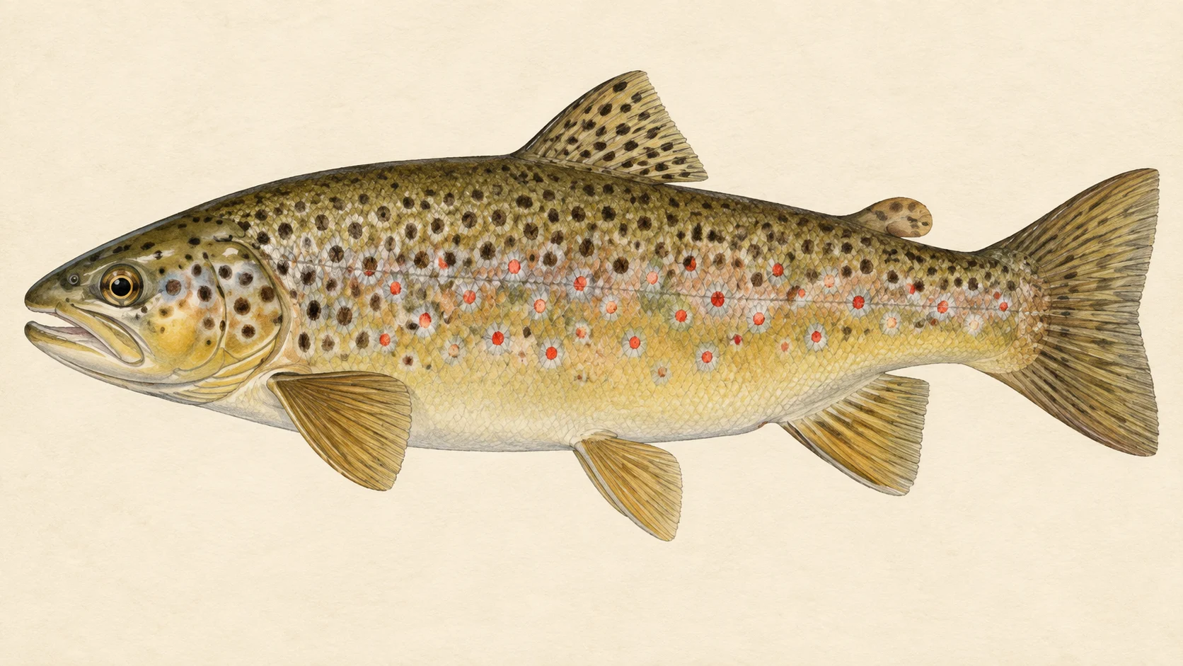
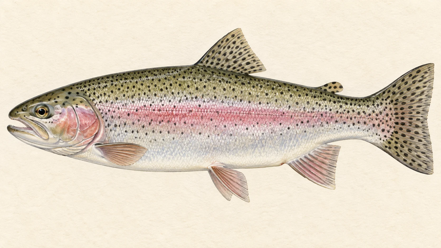
The Jamieson is a Victorian trout river that starts in alpine country and runs through gorge and forest to Lake Eildon. Brown and rainbow trout live in it.

It breaks into three: the lower river by the town, a middle river reached on 4WD tracks, and an upper river reached by rugged tracks.

Start on the lower river, off the Mansfield to Woods Point Road, and fish a dry fly in late summer. Before you set a date, read the current Victorian Fisheries Authority guide for any season or limits.

Water and habitat

The river rises near The Bluff and runs through gorges, valleys and forest to the town of Jamieson, then on toward Lake Eildon. Along the way its pools, riffles and runs give you a range of lies to work.

Browns favour the deeper pools and rainbows the faster stretches. Read the water with that in mind: check the slow depths for a brown and the quicker runs for a rainbow.

Fish and forage

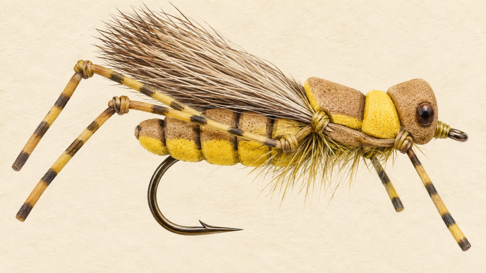
The Jamieson holds brown trout and rainbow trout. Mayfly and caddis hatches make dry-fly fishing especially rewarding, and late summer and early autumn bring plenty of hoppers, ants and other terrestrials.

Carry mayfly and caddis nymphs for the rest of the year, dries for the hatches, and a few streamers for the deeper pools.

When to fish it

Late summer and early autumn are when the surface fishing is at its best, with hoppers and ants on the water. Nymphing with mayfly and caddis patterns is productive through the year, so a nymph is a fair choice when nothing is rising. Take any season from the Victorian Fisheries Authority guide before you plan around it.

How to fish it

Match the fly to the moment. During a mayfly or caddis hatch, fish a dry. When nothing is rising, nymph a mayfly or caddis pattern through the runs and riffles. In the deeper pools, a streamer can move a larger trout.

In late summer, an Ant or a Hopper in sizes 10 to 14 is listed for both rainbows and browns on the Jamieson.

Access and safety

Near the town and Lake Eildon, the lower river is easily reached from the Mansfield to Woods Point Road. In the middle river, 4WD tracks lead to riverside camps such as Granny's Flat and Wrens Flat, and moving far up or downstream from those camps can mean bush-bashing back. The upper river is reached by more rugged tracks, including Brocks Road and routes from the Howqua Valley.

Many kilometres of the river go lightly fished because access is limited, which is a reason to plan a longer day if you go beyond the road. As on any bush river, tell someone where you are going and when you expect to be back, and carry water and a first-aid kit.

Regulations

Before you fish, read the current Victorian Fisheries Authority inland angling guide, check its closed-waters information for the Jamieson, and take any season, bag and size limits and licence requirements from it.
What the record shows

Flows, river gradient, changing water levels, fish surveys and stocking

What the record shows

How well this water has been surveyed

109 capture records, 5 decades of 5 on file

0 10 20 30 40 50 1970s: 5 capture records 1980s: 20 capture records 1990s: 26 capture records 2000s: 11 capture records 2010s: 40 capture records 2010s: 7 capture records 1970s 1980s 1990s 2000s 2010s
electrofishing (boat), 40 records electrofishing (backpack), 18 records electrofishing (other), 26 records piscicide (rotenone), 25 records
Capture records by decade — electrofishing, netting, trapping and rotenone surveys only; a sighting, an eDNA water sample or a stocking release is not a capture and is not counted here. A record is not an abundance estimate, and a decade with no bar is a decade with no capture survey on file, not evidence the water was empty.
Source: Atlas of Living Australia.
Source details and licence

Atlas of Living Australia — freshwater fish occurrence records (open licences, with coordinates). Occurrence records from the Atlas of Living Australia and its contributing datasets, including the Victorian Biodiversity Atlas, NSW BioNet Atlas, Sustainable Rivers Audit, Murray-Darling Basin fish monitoring programs, OZCAM museum collections and iNaturalist Australia. Each record carries its own licence and originating dataset. retrieved 2026-08-13.

Conditions

What the gauges say

Jamieson River @ Gerrang Bridge

River flow

No reading shown: No reading has been captured for this gauge yet, so none is shown.

Gauge height

No reading shown: No reading has been captured for this gauge yet, so none is shown.

Water temperature

No reading shown: No reading has been captured for this gauge yet, so none is shown.

Readings from the Bureau of Meteorology's Water Data Online, © Commonwealth of Australia, licensed CC BY 4.0. Nothing here is a forecast. Check the gauge before you rely on it.

Weather

What the sky is doing

Live weather for Jamieson River @ Gerrang Bridge loads here. If it does not, check the Bureau of Meteorology forecast before you go.

Weather data by Open-Meteo.com

Questions anglers ask

What will I catch?

Brown and rainbow trout. Browns tend to sit in the deeper pools and rainbows in the faster water.

When is the surface fishing best?

Late summer and early autumn, when hoppers, ants and other terrestrials are on the water.

Is there a closed season?

Check the current Victorian Fisheries Authority inland angling guide, including its closed-waters information, and take any season, bag and size limits and licence requirements from it before you fish.

Where do I start?

The lower river near the town and Lake Eildon is the easy way in, off the Mansfield to Woods Point Road.

Behind this page