The Naas is one of the ACT's big trout waters, and the whole river, tributaries included, is classified trout water. In our experience the fishing is the same honest deal as the Cotter and Paddys: heavy water and deep nymphs in spring, dries when it drops.
The rules are the same from the headwaters down.
Anglers who fish the three rate the Naas and Paddys as great options for deep nymphing, with the Cotter taking the crown. At the October opening the melt can have the river running hard and cold, and a heavy nymph rig in the slower water beside the current is a good bet. In our experience it becomes dry-dropper water through summer, with caddis in the evenings and hoppers off the tussock.
Trout water means a season from the October Labour Day long weekend to the end of the June King's Birthday long weekend, fly and lure only, no bait, and one rod at a time.
Learn the Cotter first if this is your first ACT trout trip.
Water and habitat
Among the ACT's anglers it counts as one of the big waters, a river that suits a nymph on the bottom.
Fish and forage
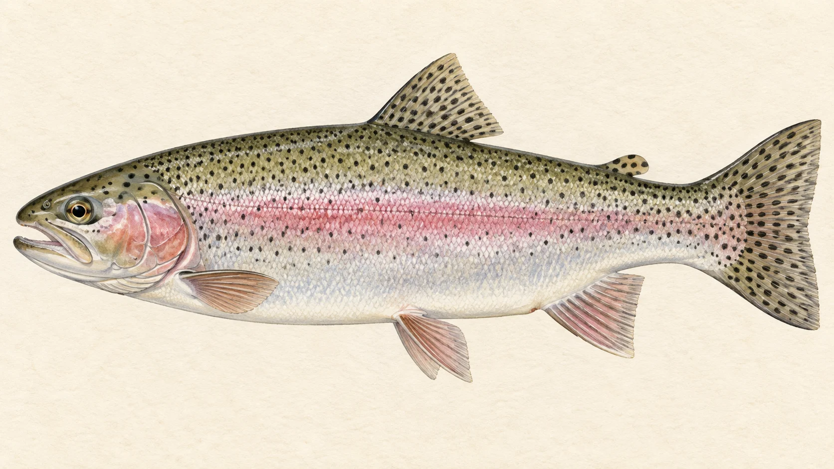
The territory classes the river as trout water, and anglers report rainbow trout across the ACT's streams. Brown trout are named alongside rainbows in the ACT trout rules.
In our experience the food is the general drift of a cold clear river: mayfly on warm afternoons, caddis in the evenings, hoppers along the tussock through summer.
When to fish it
The season opens on the October Labour Day long weekend and closes after the June King's Birthday long weekend, and the dates move with the calendar. In our experience spring is the melt and the deep rig, and from late November the river drops into dry-dropper water. Summer evenings carry caddis and the afternoons carry hoppers. Autumn is low, clear and deliberate until the close.
How to fish it
Spring: an indicator and a heavy nymph rig in the slower water beside the flow, letting the flies plummet, one run at a time. Summer: a buoyant dry with a small nymph below it through the runs and pockets, a hopper tight to the tussock in the afternoon, and a caddis dry as the light goes.
Gear in trout water: one rod at a time, a landing net, no more than two flies or one lure on the line, and no rod rigged for bait in or beside the water.
Access and safety
Use formed public roads and tracks, obey signs and gates, and check the ACT Parks nature park finder for current access before you go. As on any river, if it is running heavy, stay off it or fish from the bank.
Regulations
The ACT lists the Naas River and its tributaries as Trout Water. In trout water, fishing is open from the start of the October Labour Day long weekend to the end of the June King's Birthday long weekend; only artificial fly and lure fishing is allowed in the open season; bait fishing is prohibited; you may use one rod at a time and a landing net; the rod may carry no more than two flies or one artificial lure; and it is an offence to possess a handline, more than two rods, a rod rigged for bait, or any net other than a landing net in or beside the water.
Take the current rules from the territory brochure before you fish.
River map & ways in
The water from source to end, with mapped tracks and walking lines
River map and ways in to Naas River
sealed roadunsealed4WDwalking track and walk-inleave the roadlisted way innamed nearby, not confirmedmapped approach, not confirmed access
Tap an access diamond, its walking line, to open the details on the map. Nearby items within the same click range open together.
Unnamed track off Top Naas Road
Vehicle track — high-clearance/4WD, about 1.3 km on foot from Top Naas Road. The mapped track comes within about 1 m of the channel. Nobody has described this as a way in; it is what the road layer shows, and it may end at a fence.
Vehicle track — high-clearance/4WD, about 6.3 km on foot from Boboyan Road. The mapped track comes within about 70 m of the channel. Nobody has described this as a way in; it is what the road layer shows, and it may end at a fence.
Vehicle track — high-clearance/4WD, about 0.2 km on foot from Top Naas Road. The mapped track comes within about 1 m of the channel. Nobody has described this as a way in; it is what the road layer shows, and it may end at a fence.
Vehicle track — high-clearance/4WD. The mapped track comes within about 234 m of the channel. Nobody has described this as a way in; it is what the road layer shows, and it may end at a fence.
Vehicle track — high-clearance/4WD, about 2.4 km on foot from The Forest Trail. The mapped track comes within about 0 m of the channel. Nobody has described this as a way in; it is what the road layer shows, and it may end at a fence.
Vehicle track — high-clearance/4WD, about 0.4 km on foot from Gudgenby Creek Firetrail. The mapped track comes within about 45 m of the channel. Nobody has described this as a way in; it is what the road layer shows, and it may end at a fence.
Vehicle track — high-clearance/4WD, about 7.4 km on foot from Brandy Flat Road. The mapped track comes within about 236 m of the channel. Nobody has described this as a way in; it is what the road layer shows, and it may end at a fence.
Vehicle track — high-clearance/4WD, about 0.7 km on foot from Naas Valley Firetrail. The mapped track comes within about 22 m of the channel. Nobody has described this as a way in; it is what the road layer shows, and it may end at a fence.
A track shown here is not a guarantee of access — check current closures and gate status with the land manager before you rely on it, and ask where the way in crosses private ground. A meeting is counted where the mapped track comes within 250 m of the mapped channel.
When things happen
The guide's calendar for this water
When things happen
The year on this water
A year at a glance; check current rules
Early-season high water· Sep to NovIn our experience melt off the range can have the big ACT rivers heavy and cold around the opening. Deep nymphs off the main current.
Dry-dropper season· Nov to AprLower, clearer water, a dry with a nymph under it through the runs.
Evening caddis and hoppers· Dec to MarIn our experience the streams carry caddis in the evening and grasshoppers off the tussock through the afternoon.
What the record shows
Flows, river gradient, changing water levels, fish surveys and stocking
What the record shows
The fall of the river
Elevation along the river, source to end
Falls 325 m over 32 km, sand bed, floodplain pockets for much of its length.
bedrock · 30%gravel · 27%sand · 42%
Headwater
957 m
Outlet
632 m
Typical drop
10.2 m/km
Steepest sampled stretch
18 m/km, near 11 km
Hover the profile for the reading at any kilometre.
Gauge pins identify the monitoring stations. The slope shows how steeply the river falls; it does not show rapids or safe wading routes.
The banks, seen from space
Land cover in the 120 m beside the water, Landsat 2023 to 2024 to 2025
dense forestopen woodlandscattered trees and scrubnative grass and heathfarmed or clearedbare groundlake
Along the river itself about 72% of the bank is under trees, 27% is native grass or heath and 1% is farmed. The most wooded stretch is 0 to 5 km from the source; the most open is 25 to 30 km.
Check the water operator or jurisdiction authority for current conditions, and read the water yourself when you arrive.
Questions anglers ask
Is the whole river trout water?+
Yes. The ACT lists the Naas River and its tributaries as Trout Water, so the season, the fly-and-lure rule, the bait ban and the one-rod rule apply from the headwaters down.
Where does the Naas sit among the ACT's trout rivers?+
Anglers who fish all three give the Cotter the crown and put the Naas beside Paddys River as the other big water, particularly for deep nymphing.