Australia Fly Guide
TAS · Northwest

Mersey River

Imagery © Esri

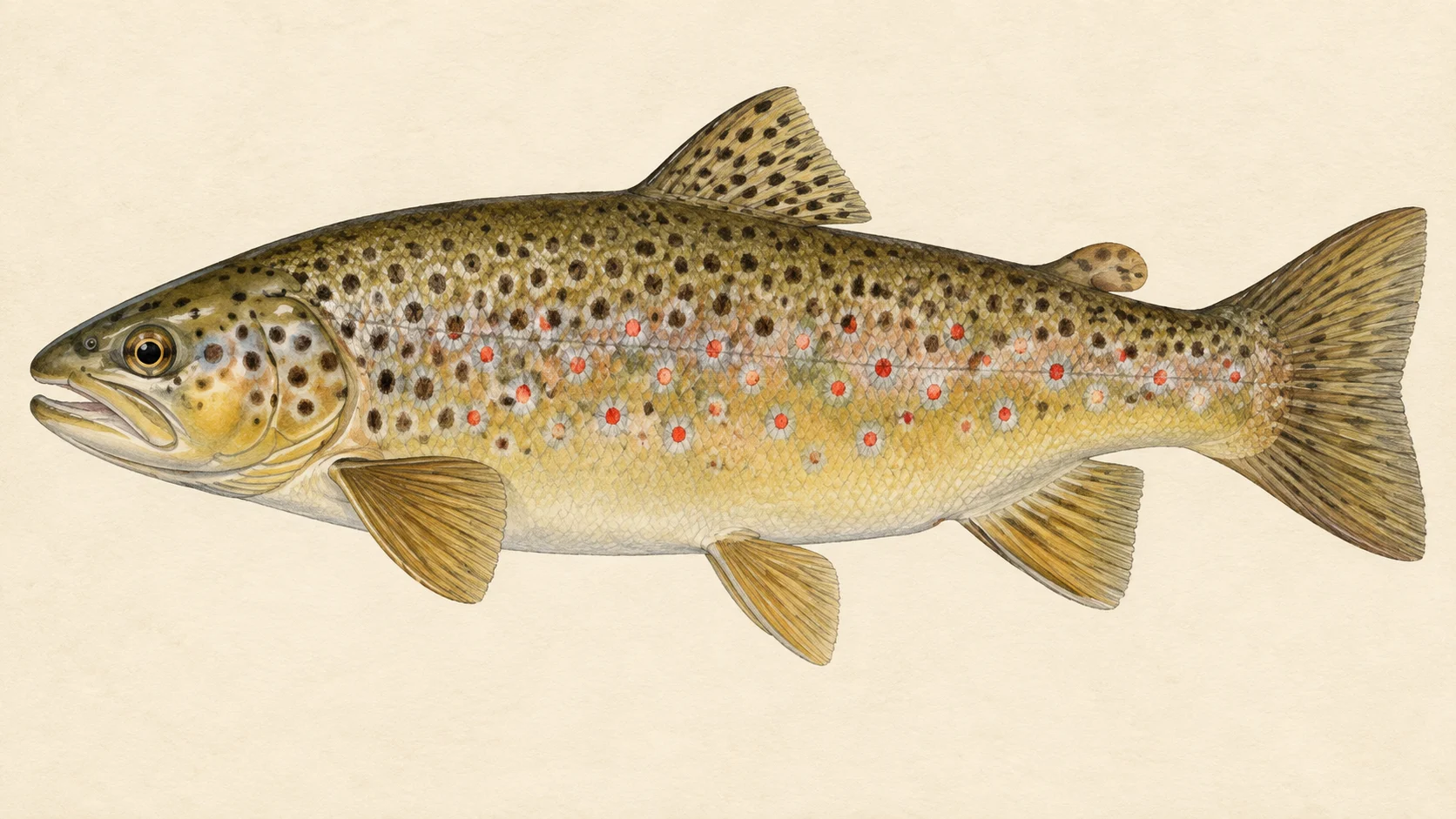
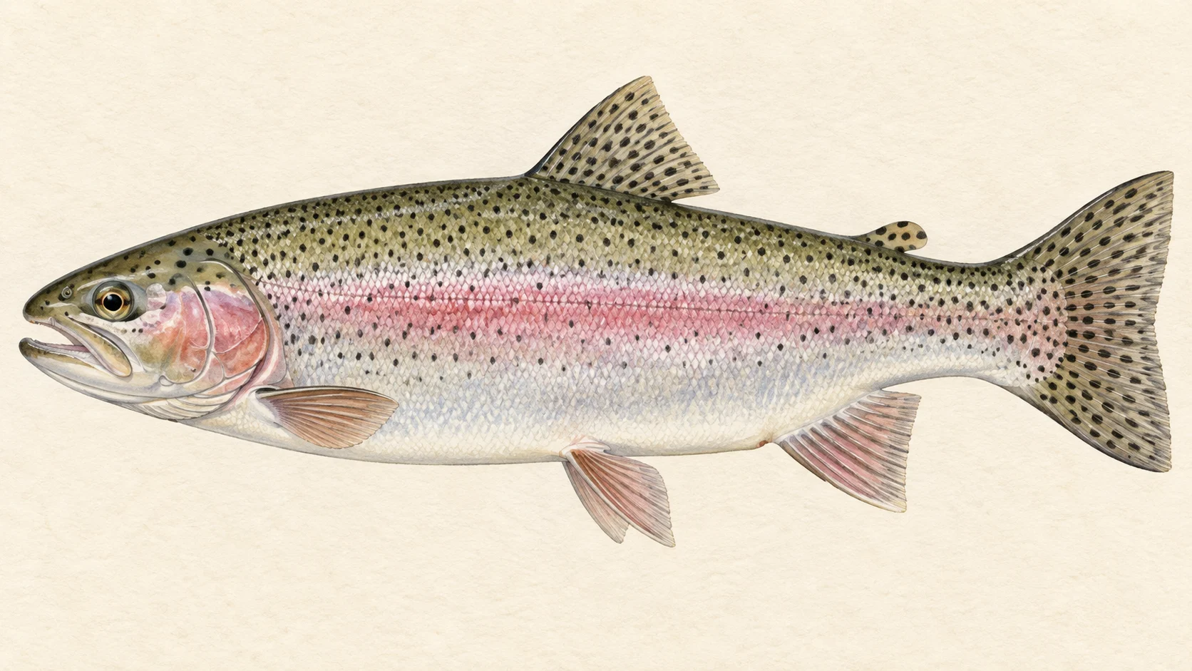
The Mersey runs north to Bass Strait at Devonport, and the reason to fish it is wild trout close to the coast. You get browns, rainbows and, in spring, fish feeding on whitebait.

Think of it as three trips. The upper river above Pine Hut Plain is water where you often have to wade to reach small rainbows and browns. The middle stretch from Liena to Kimberley suits a day with a mate. The lower river between Latrobe and Kimberley suits spring bait fishing.

Start on the middle stretch in the mornings before Christmas, looking for rising trout. Save the lower river for spring, and the upper river for a day you want to wade.

Check the current Tasmanian fishing guide before you go.

Water and habitat

The upper Mersey, above Pine Hut Plain and Lees Paddocks, is serpentine, myrtle-shaded water with trailing weed and partly submerged logs. It holds small browns and rainbows, and you often have to wade to reach them.

Below that, FlyLife describes access from Liena down to Latrobe, just above the estuary, with the named areas Merseylea, Kimberly, Weegena and Railton. On the freshwater reaches between Latrobe and Kimberley, overhanging willows throw shade, and trout hunt baitfish in it. In our experience that shade and the riffle edges are where to look first.

Clarke Falls isolates the stretch below Junction Lake from lake spawners, and Fergusson Falls marks the point above which only rainbows are described.

Fish and forage

FlyLife's writers describe a really good wild population of brown trout and rainbow trout, with browns in the 2 to 3 lb class in good seasons. Stocking records also list brown trout released in several seasons, which the stocking chart shows. Above Fergusson Falls the river is described as rainbow-only. Sea trout and native grayling are named as runs, and we would not plan a trip around either.

The forage is where the fishing is. Because the Mersey runs direct to the sea, whitebait feeders can be a feature of the lower river in spring, and each high tide during the run is described as bringing fresh schools, with the biggest tides bringing the most. In the mornings before Christmas, trout sip caenid duns in the slower currents, then take black spinners in the afternoon. After April rain, a downstream run of jollytails (common galaxias) can turn trout aggressive on the riffles and pools.

When to fish it

Spring is the whitebait season, starting in the lower river in the last weeks of August and reaching further up as the weeks pass. From spring to Christmas, plan on mornings for caenid duns and afternoons for black spinners. Autumn belongs to the jollytail run, which usually needs a good April rain to set it off.

Catch rates have been mixed: Inland Fisheries Service postal-survey data recorded a sharp decline in 2024/25 after around 25 years as one of the state's best-performing rivers. The stocking and survey charts show more. We would choose your day carefully and lower your expectations.

How to fish it

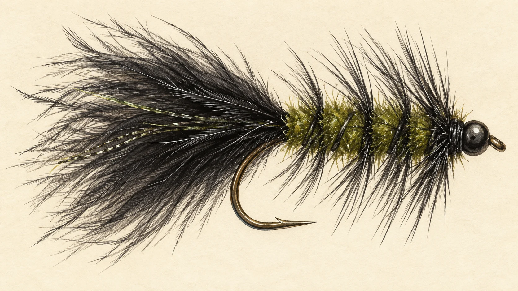
Match the moment. For whitebait feeders and the jollytail run, a black or olive streamer in sizes 12 to 14 is a good bet; FlyLife's flies table also lists an F-Fly in the same sizes for browns and rainbows. Around the Woolly Bugger pattern, keep it dark and let it swing through the shade of overhanging willows.

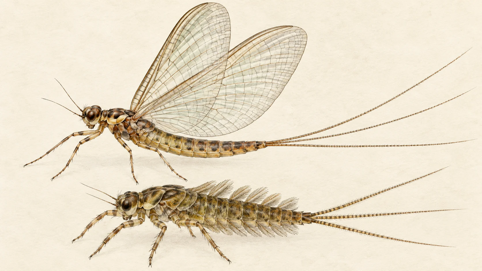
For the caenid mornings, look for rings in the slow water at the edge of the current, not in the riffles, and fish a small mayfly imitation there. Switch to a black spinner in the afternoon.

On the upper river, work slowly upstream and wade to the pockets you cannot reach from the bank.

Access and safety

Treat any access point as a location, not a statement of permission, and respect any fence or sign you find on the ground. FlyLife describes Inland Fisheries Service angler-access points and step-overs along the river.

As on any bush river, tell someone where you are going and when you expect to be back, carry water and a first-aid kit, and never wade a crossing you are unsure of. If you go into the upper river, plan the way out before the light goes.

Regulations

No water-specific rule was found for the Mersey River. Before you fish, read the current Tasmanian Government Inland Fisheries Service fishing guide, check its closed-waters list, and take any season, bag and size limits and licence requirements from it.
When things happen

The guide's calendar for this water

When things happen

The year on this water

A year at a glance; check current rules

  • Whitebait feeders in the lower river · Aug to Nov FlyLife's writers say the northern Tasmanian whitebait run usually starts in the last weeks of August, in the lower river first and further upstream as the season goes on. A black or olive streamer is a good bet for trout hunting the bait.
  • Caenid duns in the mornings · Sep to Dec In the months leading up to Christmas, trout sip caenid duns in the slower, non-riffly currents through the morning, then chase black spinners in the afternoon.
  • Jollytails after April rain · Apr FlyLife's writers describe a late-season downstream run of adult jollytails, usually set off by about 20 mm of rain in April, that brings schooling trout on to the riffles and pools. A streamer is a good bet for it.

What the record shows

Flows, river gradient, changing water levels, fish surveys and stocking

What the record shows

The river's year

Daily flow at Mersey River - A/b Arm, every year 1953 to 2026

0.05 0.1 0.2 0.5 1 2 5 10 20 50 typical range high-flow mark Jan Feb Mar Apr May Jun Jul Aug Sep Oct Nov Dec m³/s
73 years of the gauge, week by week. The dark band is the middle half of all years, the pale band nine years in ten, the line the median. The shaded strip is the typical range: the band the river sits in about half of all days. In a typical year the river sits in it from late October through the turn of the year to late July, and runs higher than that from mid August to late October. Whether a given day is one to wade is a call made at the bank, not a reading off this chart. Median flow peaks in late September and bottoms out in mid March. Flow and temperature are measured at different stations; this chart shows flow only.
Source: Bureau of Meteorology.
Source details and licence

Bureau of Meteorology — Water Data Online series catalogue (Snowy/Monaro stations). Bureau of Meteorology, © Commonwealth of Australia. Licensed from the Commonwealth of Australia under a Creative Commons Attribution 4.0 International licence. retrieved 2026-08-12.

How often it runs this high

26,503 days at Mersey River - A/b Arm, 1953 to 2026

0.05 0.1 0.2 0.5 1 2 5 10 20 50 typical range 0.209 to 20.964 m³/s high-flow mark 26.767 m³/s 0% of days 25% of days 50% of days 75% of days 100% of days m³/s
Read it left to right: the river runs above the flow on the left edge almost never, and above the flow on the right edge almost always. Half of all days sit below 14.5 m³/s. The shaded band is the typical range, where it sits about half the time; it runs higher than that one day in three and above the high-flow mark about one day in seven. These are frequency bands drawn from the record, not a measured limit — judge the water when you get there.
Source: Bureau of Meteorology.
Source details and licence

Bureau of Meteorology — Water Data Online series catalogue (Snowy/Monaro stations). Bureau of Meteorology, © Commonwealth of Australia. Licensed from the Commonwealth of Australia under a Creative Commons Attribution 4.0 International licence. retrieved 2026-08-12.

How well this water has been surveyed

9 capture records, 2 decades of 4 on file

0 2 4 6 8 1970s: 1 capture record 2000s: 8 capture records 1970s 1980s 1990s 2000s
seine netting, 9 records
Capture records by decade — electrofishing, netting, trapping and rotenone surveys only; a sighting, an eDNA water sample or a stocking release is not a capture and is not counted here. A record is not an abundance estimate, and a decade with no bar is a decade with no capture survey on file, not evidence the water was empty.
Source: Atlas of Living Australia.
Source details and licence

Atlas of Living Australia — freshwater fish occurrence records (open licences, with coordinates). Occurrence records from the Atlas of Living Australia and its contributing datasets, including the Victorian Biodiversity Atlas, NSW BioNet Atlas, Sustainable Rivers Audit, Murray-Darling Basin fish monitoring programs, OZCAM museum collections and iNaturalist Australia. Each record carries its own licence and originating dataset. retrieved 2026-08-13.

Stocking on record

141,510 fish in 12 records, 2011 to 2025

0 50k 100k 150k 2011: 150 brown trout in 1 record 2012: 400 brown trout in 1 record 2013: 300 brown trout in 1 record 2014: 400 brown trout in 1 record 2017: 260 brown trout in 1 record 2025: 140,000 brown trout in 7 records 2011 2013 2015 2017 2019 2021 2023 2025
Brown Trout, 141,510 across 12 records
Stocked in 6 of the 15 years from 2011 to 2025. These are individual release records. A record is not a promise that stocking continues, and not evidence of what is in the water now.
Source: Inland Fisheries Service (Tasmania).
Source details and licence

Inland Fisheries Service (Tasmania) stocking database. retrieved 2026-08-20.

Conditions

What the gauges say

Mersey River at Shale Road

River flow

No reading shown: No reading has been captured for this gauge yet, so none is shown.

Gauge height

No reading shown: No reading has been captured for this gauge yet, so none is shown.

Water temperature

No reading shown: No reading has been captured for this gauge yet, so none is shown.

Mersey River - A/b Arm

River flow

No reading shown: No reading has been captured for this gauge yet, so none is shown.

Gauge height

No reading shown: No reading has been captured for this gauge yet, so none is shown.

Readings from the Bureau of Meteorology's Water Data Online, © Commonwealth of Australia, licensed CC BY 4.0. Nothing here is a forecast. Check the gauge before you rely on it.

Weather

What the sky is doing

Live weather for Mersey River at Shale Road loads here. If it does not, check the Bureau of Meteorology forecast before you go.

Weather data by Open-Meteo.com

Questions anglers ask

What will I catch?

Wild brown and rainbow trout, mostly. Above Fergusson Falls the river is described as rainbow-only water. FlyLife also names runs of sea trout and native grayling.

Is there a closed season?

No water-specific rule was found for the Mersey. Check the current Tasmanian Inland Fisheries Service fishing guide, including its closed-waters list, and take any season, bag and size limits and licence requirements from it.
Can I fish it in a day?

Between Liena and Kimberley, a pair of anglers can cover it in a day, with short drives between spots, according to FlyLife's writers.

When do the whitebait feeders come on?

The northern Tasmanian run usually begins in the last weeks of August. It starts in the lower river and works further upstream as the season goes on.

Behind this page